We are modern Geospatial, Research, Data analytics and Visualization company that operates in Africa and Online. We have wealth of over 10 years in cutting edge solution provision and innovation. We have a stand by team of proffesionals ready to provide plug and play solutions on the fly
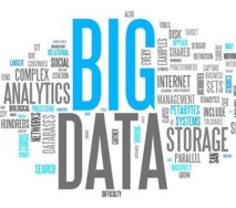
Since over 90% of current data has a geographical loaction. We have tailored our consultancy to be in tandem with the ever changing world that that churns billions of Big data daily
We have aligned out strategies to collect and harness various key datasets to provide insight and foresight to assist the client to make informed decisions
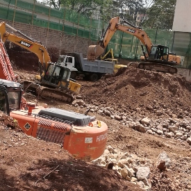
We ensure professionalism and hitech equipment is availed in the constructions site
Read DetailsWe ensure detailed, accurate representations of features that appear on the Earth's surface
Read DetailsWe integrate geographical intelligence into various aspects of Businesses & Strategy
Read DetailsWe ensure land parcels are accurately measured without disputes and conflicts
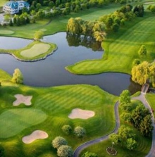
Read DetailsWe have expertise that ensure our towns are well planned to meet future needs
Read DetailsThrough our online web mapping skills, realtime geodata is availed to the end user
Read DetailsSummary of Expertise
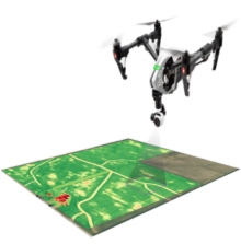
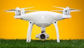
• Engineering Surveying • GIS • Web Mapping • UAV Drone Mapping • Lidar Scanning • Telecommunication Consultancy • Topographic Mapping • Cadastral Surveying • Environmental Impact Analysis • Geomarketing and Business Analysis • Research • Sports Measurements • Software Engineering • Data Sceince/Big data analysis • Block Chain Technology • Sale of Surveying Equipment • Sale of plots and Ranches • Offer free surveying services (Pro bono to marginalized) • Remote sensing • VAS Geospatial Datasets • Hydrographic Surveying • Spatial Database development • Spatial planning
We ensure that our customers come first and we offer world class service to meet the customer's needs and aspirations
We have a team of proffesional account managers that are assigned as project manangers for each client
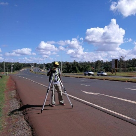
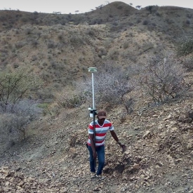
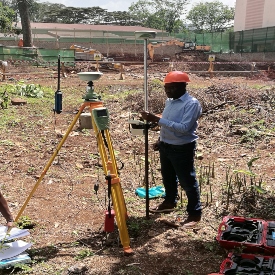
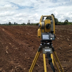
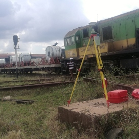
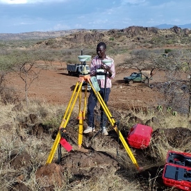
We have state of the art Equipment and we can work anywhere in in this Country
View ProjectPlease call the contacts given and we shall be ready to travel everywhere across the country to serve you to your satisfaction
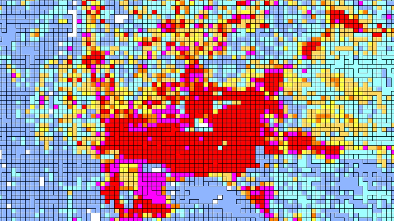
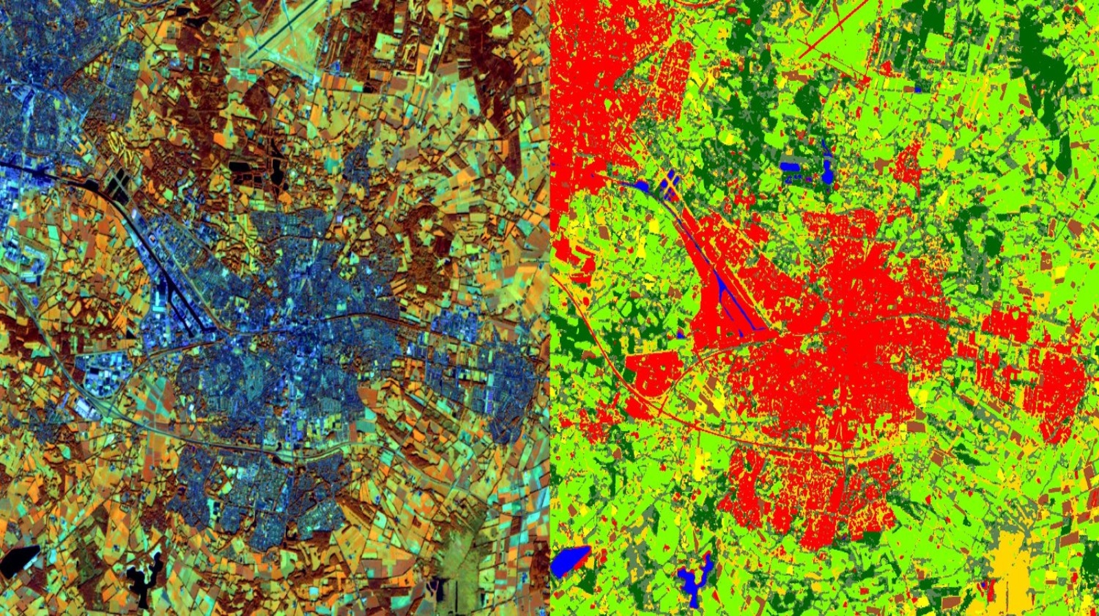
GET A QUOTEGeoreef is equipped with complex Data Science tools, that include the use of Python Programming and its module such as Spyder, Numpy and Scipy, Matplotlib and IPython.
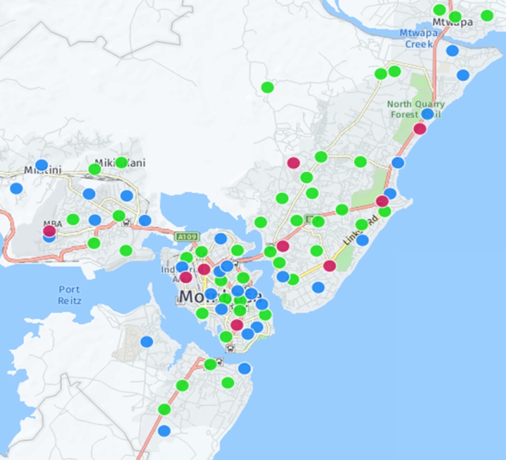
We have in-depth skills in advanced Excel dashboards, Tableau and Mapping online Geovisualization with GeoDjango.
We employ statistics and complex tools on data to forecast or analyze what could happen.
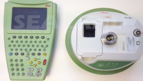
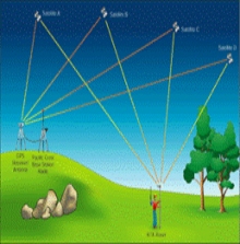
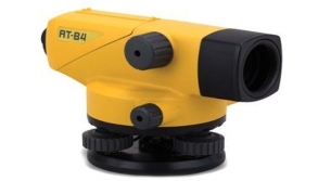
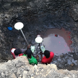
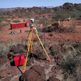
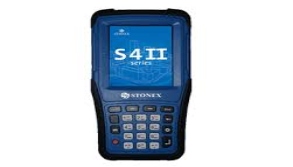
We have invested in state of the art surveying and mapping GNSS GPS for RTK and Static survey. Our Equipements are from reputable brands that include, LEICA and STONEX.
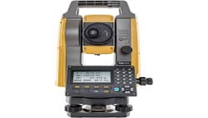
For areas that GPS cannot be used, we have TOPCON, LEICA and STONEX branded Total Stations to deliver accurate measurements. We annually calibrate our equipments.
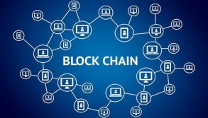
To keep up with changing times, Georeef has been experimenting on distributed ledger for Land Information System(LIMS). This will help build trust to land ownership.
With improvement of CORS network, smart data loggers that are android based will come in handy in bring specise and affordable mapping to handheld devices.